Stockpile and Quarry Surveying
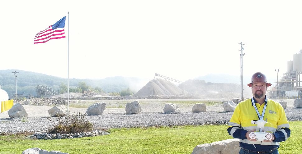
Groff Engineering has FAA licensed Part 107 sUAS pilots that can safely and legally fly drones to survey quarries and stockpiles. Its pilots and engineers routinely produce datasets that meet ASPRS positional accuracy standards for 3 cm or less horizontal and vertical RMSE. Groff Engineers use GNSS receivers to place targets and check points, and all datasets can be tested to verify accuracy per ASPRS requirements, if the client so chooses.
Are you checking your datasets today? We have found that most operators do not check, and they rely upon the ground control targets as their only test of accuracy. This is fine, but we have a problem with giving the photogrammetry software the answers to the test. Our engineers use several independent check points to verify a dataset’s accuracy.
Project Details
Client: Hilltop Companies
Date: 2017
Contact Us
Address: 31 S Maysville Rd.,
Mt. Sterling, KY 40353 USA
Phone: (859) 432-0018
Email: [email protected]