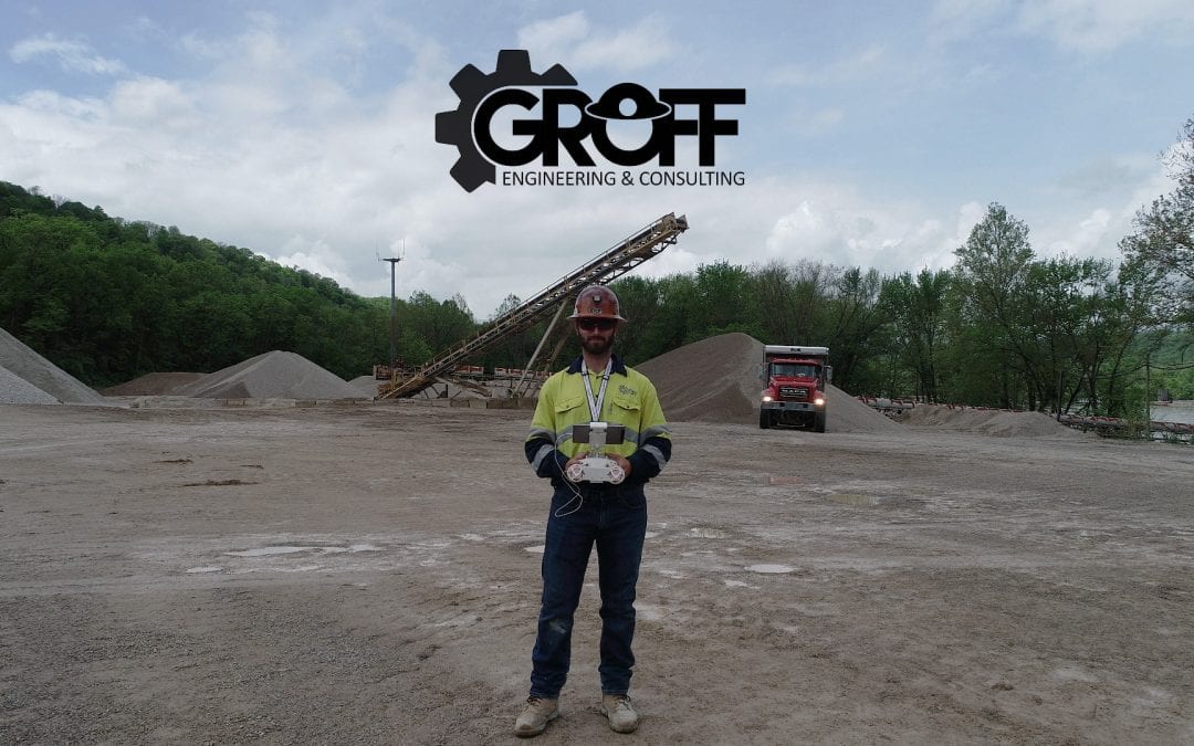
Aerial drone surveys are drastically changing the mining industry as UAV companies continue to innovate and develop more efficient methods for data collection. Mining companies are turning to drones for several reasons, such as improved safety, increased efficiency, and cost savings. Drones are fitted with advanced camera equipment that provides accurate mapping from the air, making surveying much cheaper and more efficient. What used to require chartering a plane or helicopter can now be completed with one pilot and a UAV.
UAV capabilities are rapidly expanding to meet the needs of the mining industry:
- Site surveying
- Stockpile inventory reports
- Detailed mine planning
- Aerial Imagery
- 3D terrain models
- Blast planning
- Road conditions / traffic monitoring
- Equipment inspection
- Cycle time analysis
- Water management
Groff Engineering & Consulting has provided UAV services for years and has seen the benefits first-hand. Cost effective aerial surveys allow for more frequent data collection, enabling precise mine planning and management that wasn’t previously feasible. Companies using drones are gaining a more complete picture of their inventory with more accurate forecasting, helping maximize profits while minimizing risk to the employees – and the budgets. Particularly, drones shine when used for frequent and relatively small aerial topographic surveys and visual inspections. Technological innovations continue to transform the mining industry and as UAV applications expand, drones are positioned to play an increasingly important role in mining operations around the world.
So why would you want to use drones in mining?
When it comes to optimizing the management of your mining operation, accurate geospatial data is key. Today, no tool comes close to providing data as efficiently or as safely as drones.